Mountmellick Flood Relief Scheme, Laois
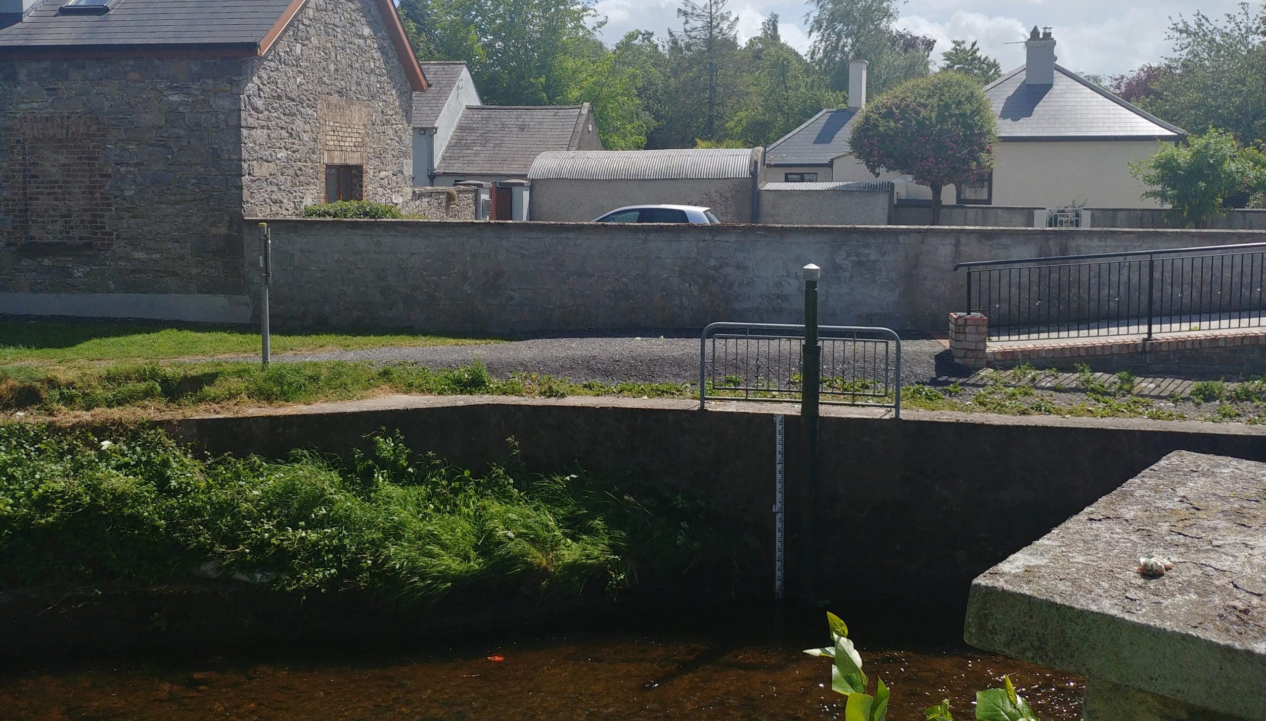
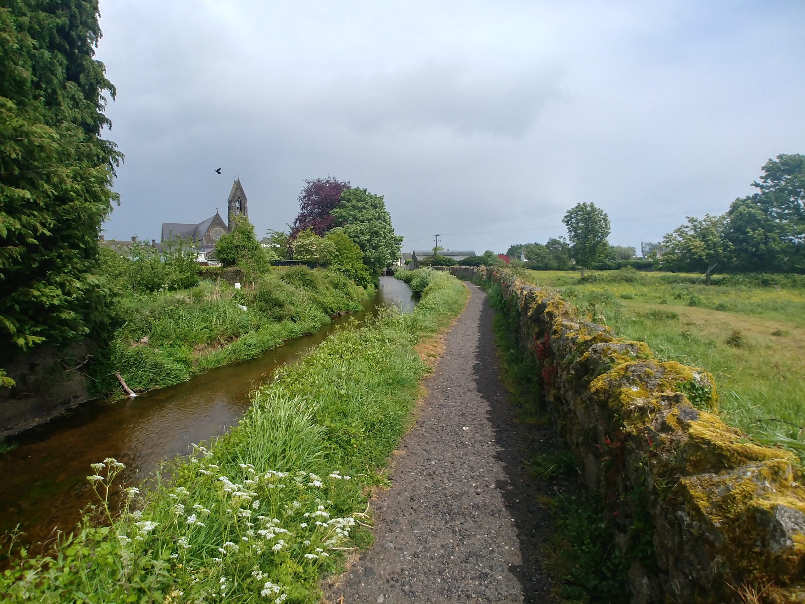

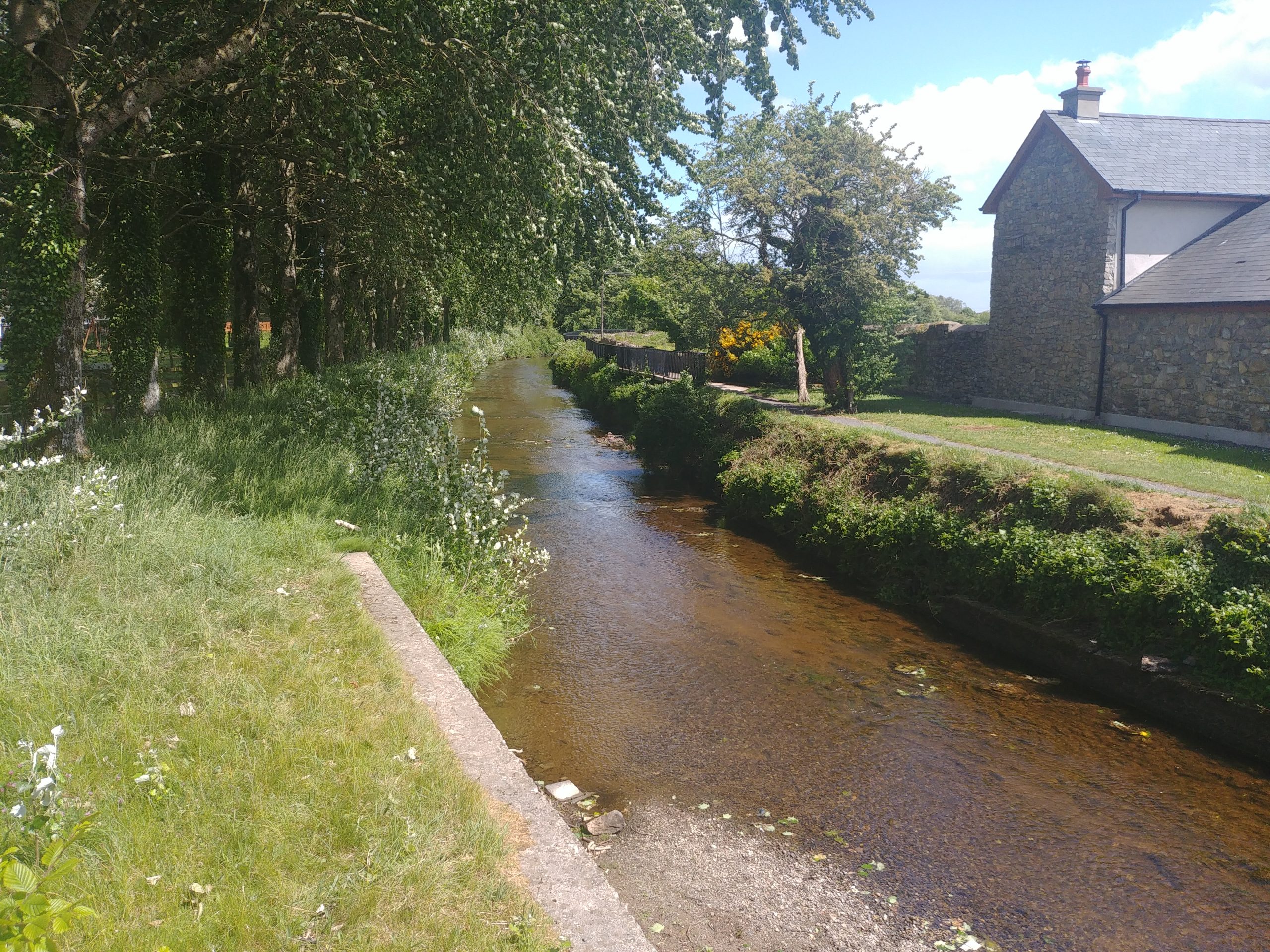
Mountmellick lies to the east of the Slieve Bloom Mountains and to the south of the River Barrow, within north County Laois. A number of rivers pass through and around the town, making it vulnerable to flooding from the Owenass and Pound Rivers and their tributaries. Very significant flooding occurred in November 2017, when the rivers burst their banks, causing flooding to property, roads and fields and necessitating the evacuation of a number of housing estates.
Although the OPW’s CFRAM Study, completed prior to the 2017 flood, identified Mountmellick as a town which would benefit from a flood relief scheme, the need and urgency for such as scheme has been brought into focus by the events of 22nd November.
Laois County Council, along with project partners the OPW, have appointed the JBA JB Barry team to assess, develop and design a viable, cost-effective and sustainable flood relief scheme which aims to minimise risk to the existing community, social amenity, environment and landscape character.
Further information on the progress of this scheme can be found at http://www.mountmellickfrs.ie/
| Client: | Laois County Council / Office of Public Works |
| Location: | Co. Laois |
| Value: | Undisclosed |
We are working on this project in partnership with JBA Consulting.